

Building the infrastructure
the sector doesn't have yet.
FWWF is a Canadian nonprofit working at the intersection of soil science, producer knowledge, and the financial systems that could begin to recognize stewardship as a verified, measurable asset.
WHAT WE DO
Ideas into implementation, since 2013.
We connect soil health measurement, soil intelligence tools, and producer knowledge translation to the emerging frameworks that could turn stewardship into recognized financial value - ecosystem service credits, stewardship-linked insurance mechanisms, green loans, and market premiums.
The data infrastructure is being built across Alberta and the broader prairies. The training and knowledge translation layer runs alongside it - helping producers understand what the data shows and what it could mean for their operation.
HOW WE WORK
"Innovation is most powerful when it gives both voice and data to the people creating change on the ground."
01
Innovation + adaptability
Complex challenges in land stewardship require continuous learning and methods that evolve with the work.
02
Collaboration + care
Producers are partners, not study subjects. Precision in methods, respect for working lands.
03
Ecosystem consciousness
Every practice is evaluated against its long-term ecological and social outcomes.
04
Dedication + grit
Accountability to partners, participants, and the land. Transparency in methods and findings.
OUR APPROACH
Four principles that shape every project.
Producer-centered from the start
Producers co-design research questions, collect data on their own land, and retain ownership of what they generate. The data returns to the operations that produce it. Their experience - what works, what doesn't, what the land is actually showing - is the foundation everything else is built on.
Soil health into soil intelligence
Field measurement is the starting point, not the end. FTIR spectroscopy, predictive soil mapping, geospatial tools, and machine learning translate raw data into something interpretable at the landscape scale - making credible, scalable verification of ecological outcomes possible.
Training and knowledge translation as a pillar, not an afterthought
Producers co-design research questions, collect data on their own land, and retain ownership of what they generate. The data returns to the operations that produce it. Their experience - what works, what doesn't, what the land is actually showing - is the foundation everything else is built on.
Designed for durability beyond the grant cycle
Every initiative is oriented toward financial self-sufficiency - through ecosystem service credits, stewardship-linked financial instruments, and producer-governed data infrastructure that doesn't depend on perpetual funding. The registry we are helping build is intended to eventually be owned and governed by the producers it serves.
ORIGIN
The question that started it all wasn't about data.
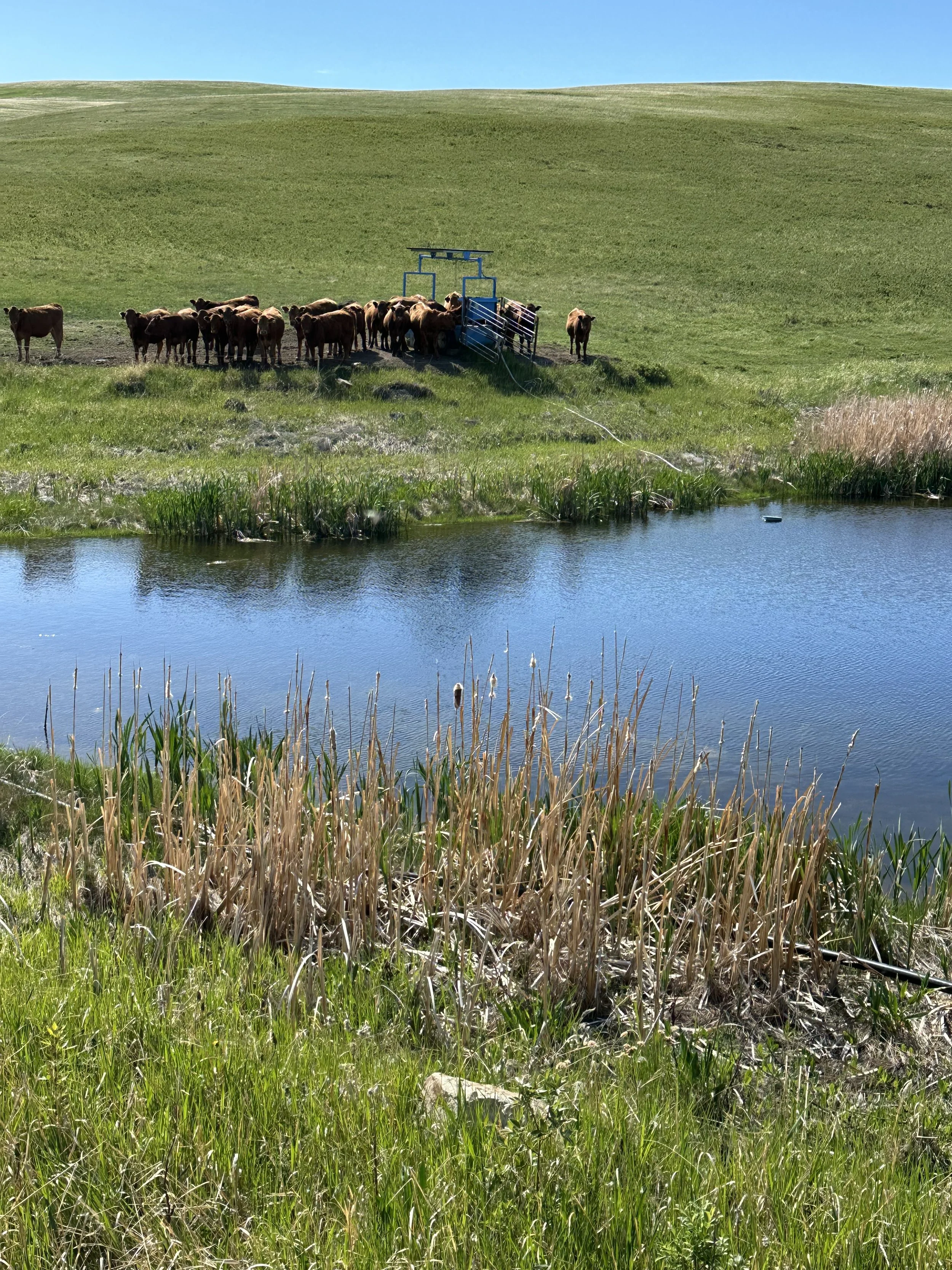
It was about land. Specifically, about why certain pieces of land felt different underfoot - springy, alive, buzzing with insects - while others didn't. Producers managing land like that almost always described the same thing when asked what they had done differently: they had let it rest, diversified what grew on it, and grazed it more like the bison once had. And almost always, they had seen increases in soil organic matter.
That observation - consistent, producer-reported, and not yet measurable at scale - is where the Food Water Wellness Foundation's work began.
The early question wasn't what practice to promote. It was how to measure what healthy land is actually doing, and how to connect that measurement to something that could make stewardship financially viable for the people doing it.
The adaptive management problem
The first attempt at a grassland carbon protocol hit an immediate wall. Every producer who was asked about herd size, grazing duration, and rest periods gave a different answer. The only consistent response was: "it depends."
That was an introduction to adaptive management - and to the central problem with practice-based protocols. No-till worked as a carbon offset mechanism because it was standardized and verifiable. Grassland management wasn't. Producers kept saying the same thing: if we could just measure the carbon and show what we're doing, we wouldn't have to define something that's almost impossible to define.
At the time, soil measurement was considered too expensive, too variable, and too hard to replicate at scale. So the question became: how do you measure and map soil carbon in a way that's credible, affordable, and spatially meaningful across a prairie landscape?
Rome, 2017
The turning point came at the FAO Global Symposium on Soil Organic Carbon in Rome, where Kimberly Cornish, FWWF's founder, met a Scottish scientist working in Australia on predictive digital soil mapping. Through a winding series of connections that followed, FWWF eventually partnered with a former graduate student based in the Netherlands and the University of Saskatchewan to develop a measurement approach that combined limited physical sampling with environmental covariates to produce spatially explicit soil carbon maps.
In 2019, field work began with 23 farms across Alberta. By 2020, a baseline soil carbon map of the province had been built from approximately 400 sampling points. The methodology that emerged from that work is now published in the journal FACETS - and forms the measurement foundation for everything FWWF has built since.
What the data showed
When the maps came back, one thing was immediately clear: averages didn't work. Early carbon protocols had assumed roughly one tonne of carbon per hectare across the country. The Alberta data showed enormous spatial variability - variability that made blunt national averages not just imprecise but potentially misleading for any protocol trying to fairly compensate stewardship.
A pilot assessment of approximately 500,000 acres against the then-available avoided conversion protocol found that less than 5% of that land actually met the eligibility requirements. That was a signal that something in the protocol design wasn't working - not that the land wasn't doing what it needed to do.
That gap between what the land was delivering ecologically and what existing frameworks could recognize and pay for is the gap FWWF has been working to close ever since.